

Results 1 to 6 of 6
Thread Information
Users Browsing this Thread
There are currently 1 users browsing this thread. (0 members and 1 guests)
 LinkBack URL
 About LinkBacks
-
05-07-2008, 11:14 AM #1Senior Member

- Join Date
- Mar 2006
- Location
- Santa Clarita Ca
- Posts
- 9,714
Border fence across deep canyon will begin to be built next
Border fence across deep canyon will begin to be built next month
By Leslie Berestein
UNION-TRIBUNE STAFF WRITER
May 7, 2008
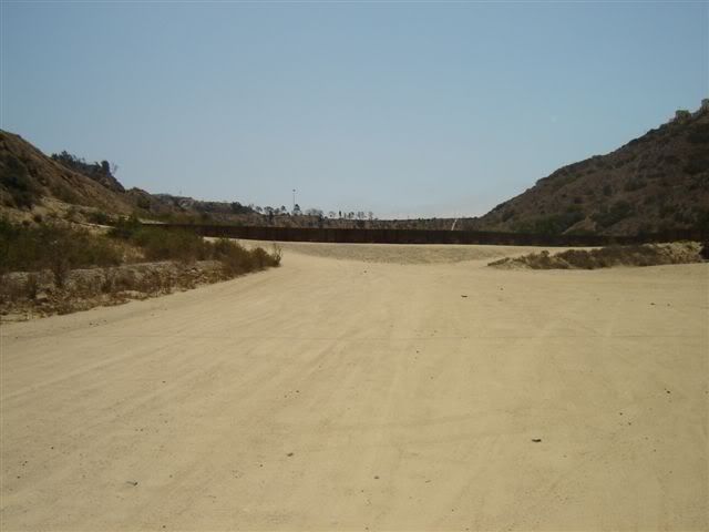
More than two years after a precedent-setting move by the federal government cleared a path around environmental laws and legal challenges, the construction of a stretch of border fence across a deep canyon known as Smuggler's Gulch is set to begin next month.
The project will require cutting earth from surrounding hills and filling in the canyon with more than 2 million cubic yards of dirt, an operation so large that critics fear disastrous environmental consequences.
According to the latest plans from the U.S. Customs and Border Protection, the project will consist of constructing an earthen berm across the canyon to support a 15-foot secondary steel-mesh fence and all-weather patrol and access roads.
The agency said a $48.6 million contract was awarded this year to the Keiwit Corp., a construction and mining firm based in Omaha, Neb.
Elsewhere along the U.S.-Mexico border, fence construction has ranged from about $2 million to a little more than $3 million per mile, he said.
âCertainly in some areas, it is easier to construct than it is in others,âJoin our efforts to Secure America's Borders and End Illegal Immigration by Joining ALIPAC's E-Mail Alerts network (CLICK HERE)
-
05-07-2008, 11:28 AM #2Senior Member
- Join Date
- Jan 2006
- Location
- California
- Posts
- 1,247
anyone
Does anyone know of a map of the area to be fenced?
-
05-07-2008, 11:44 AM #3Senior Member

- Join Date
- May 2007
- Location
- Royse City, Texas
- Posts
- 1,517
Does anyone know of a map of the area to be fenced?
It is on Google Earth if you have that program on you computer.Never give up! Never surrender! Never compromise your values!*
__________________________________________________ __
NO MORE ROTHSCHILD STOOGES IN PUBLIC OFFICE!!!
Join our efforts to Secure America's Borders and End Illegal Immigration by Joining ALIPAC's E-Mail Alerts network (CLICK HERE)
-
05-07-2008, 11:51 AM #4Senior Member
- Join Date
- Jun 2006
- Location
- Oregon (pronounced "ore-ee-gun")
- Posts
- 8,464
jonhaloi - see if the link below does the job ok:
http://tinyurl.com/6g54op for
http://www.mapquest.com/maps/San+Ysidro+CA/
#a/maps/l:::San+Ysidro:CA:::32.551899:-117.042198:city:
/m:hyb:10:32.551953:-117.004087:0::/io:0:::::f:EN:M:/e
It looks like that upon rendering of the desired image map area, you'll have to manually scroll to the left to see the area associated with "Smuggler's Gorge" (it's apparently left [west] of the freeway)
Crud. It looks like it worked for me the first time in my browser, but a later attempt didn't when clicking from this link above. It may not work for you.
Copying/pasting in the long link above doesn't work either apparently.
Both the mapped/image displays are available on both Google and Mapquest. Just look at the border area of CA near Chula Vista and look for San Ysidro and the area described above in the story is mostly to the west of San Ysidro.Join our efforts to Secure America's Borders and End Illegal Immigration by Joining ALIPAC's E-Mail Alerts network (CLICK HERE)
-
05-07-2008, 12:48 PM #5Senior Member

- Join Date
- Oct 2007
- Posts
- 2,370
-
05-08-2008, 12:36 AM #6

- Join Date
- Jan 1970
- Posts
- 770
Pics
<center>
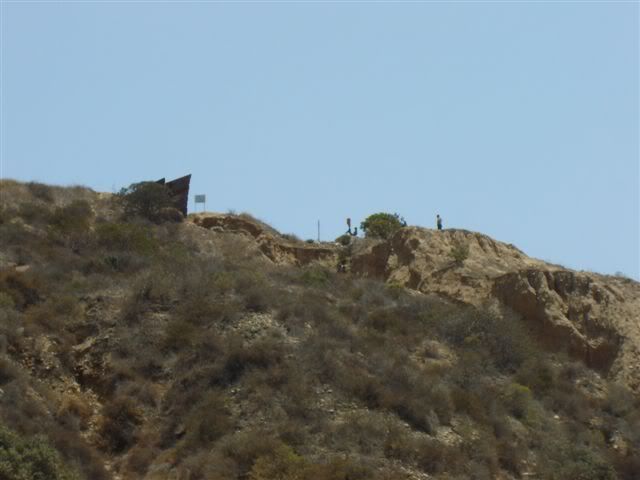
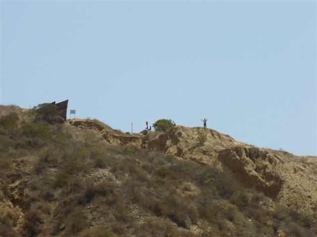
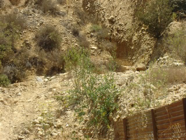
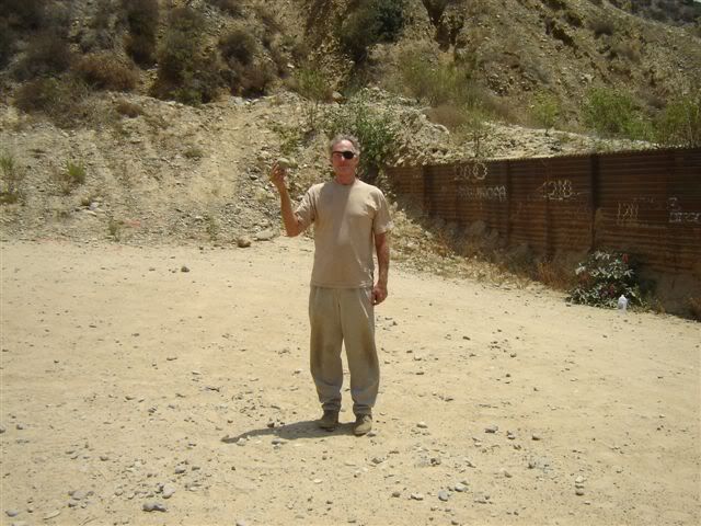
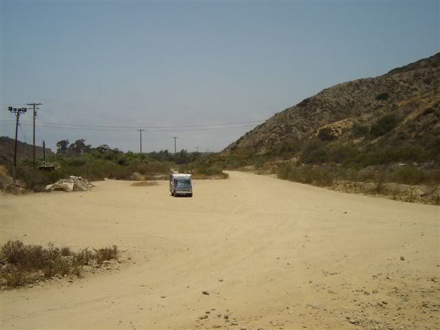
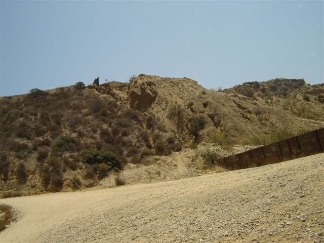
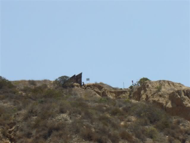
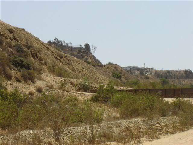
</center>


 Reply With Quote


San Diego Sector of Southern Border Reaches Top Spot for Illegal...
05-11-2024, 02:51 PM in illegal immigration News Stories & Reports